TopoL Internet Server
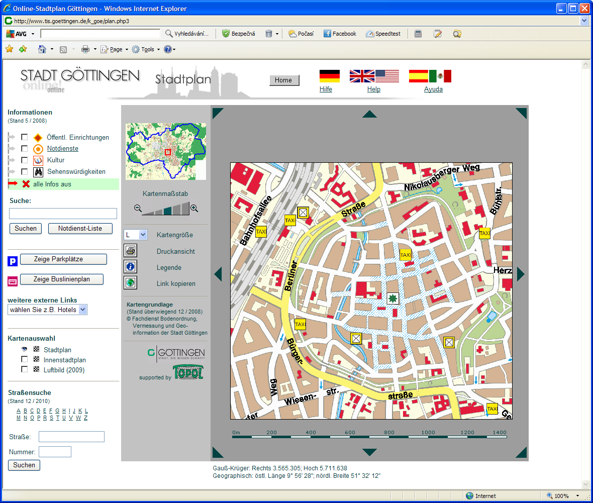
TopoL Internet Server
- is a complete system for publication of spatial data in Internet/Intranet environment
- enables you easily to make publicly available maps combined with additional data stored in databases as well as multimedia sources
- is completely based on TopoL NT technology
- displays raster data in many formats TopoL RAS (including RAK variant), TIFF, GeoTIFF, BMP, CIT, JPEG, JPEG 2000, GIF, PCX, Mr.SID, ECW, COT and others
- displays vector data in many formats TopoL Block, ArcView Shapefile, Microstation dgn, AutoCAD dwg, dxf, MapInfo MIF/MID, MapInfo TAB, Geomedia MDB, ESRI MDB, MS SQL, Oracle, PostGis
- supports SQL query processing on internal and external databases
- enables you to display attributes for selected vector objects
- generates „clickable maps“ for selected vector objects including their hints based on database content (ALT attribute)
- makes possible to search vector objects based on values of their attributes using SQL queries
- generates scale bars in GIF format based on selected parameters
- supports creating pictures in GIF format and painting them
- runs on Microsoft Windows operating systems as service or as background application
- can be accesed in PHP and ASP scripts
TopoL Internet Server
enables you to publish maps and provide various spatial data information in Internet/Intranet environment to wide range of users in the form of user-friendly applications, e.g.:
- positional data – classic maps
- forest maps
- data in cadastre registry
- historical monument information
- transport and traffic information
- environmental data
- technical network maps
- water management data, etc.